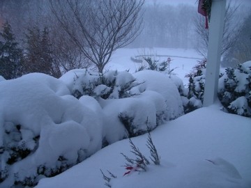
WEATHER UDPATE: Major Winter Storm On The Way For Friday
Wednesday, February 06, 2013

Current indications are that a classic nor’easter will crank up off the Mid-Atlantic coast on Friday spreading light snow into the area early in the day. The snow could become heavy at times in the afternoon and evening and gradually wind down early Saturday.
Of course many uncertainties still exist about the track, timing and total accumulations. At this point it does not appear that the storm will track out to sea and miss us. On the contrary, many forecast models see the storm dumping well over a foot of snow on much of the area and a couple see even more than that. To me, the biggest uncertainty is the potential for the snow to mix with and change to sleet and rain during the middle part of the storm Friday evening. Just where and when that happens, if at all, will not be able to be determined until perhaps early Friday and, of course, any such change would affect the snow totals in a major way. In situations like this the most vulnerable spots to a mix or change are areas from Providence on south and east. Any change is usually less likely over Northwest Rhode Island into Central Massachusetts.
So we will just have to wait and see. The storm is at least two days away and lots can happen to change the picture.
Related Articles
- BETTER LIVING: Eco-Friendly Snow Removal
- College Admissions: Best Ski + Snowboard Colleges in the West
- College Admissions: Best Ski + Snowboard Colleges in the East
- The LOOK: Snow Day Beauty Projects
- Worcester County’s Best Sledding Hill
- Great Sledding Spots in Central MA


Follow us on Pinterest Google + Facebook Twitter See It Read It