Current Conditions
Temp:
Wind: From the at MPH
Humidity:
This Afternoon's Forecast

![]()
H:
L:
![]()
H:
L:
![]()
H:
L:
![]()
H:
L:
![]()
H:
L:
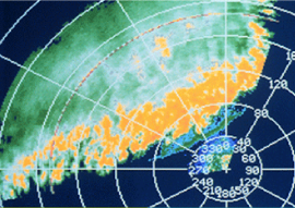
HURRICANE UPDATE: Sandy will be an Enormous Storm
Wednesday, October 03, 2012
While there are still many questions to be answered about the details of the future track and intensity of Sandy, the broader picture is becoming quite clear.
Sandy will be an enormous storm in the area it covers and it will be very intense with winds over hurricane force over a large area perhaps even hundreds of miles from the storm center.
NEW: Another Heat Advisory for Worcester County
Thursday, June 21, 2012
Those looking for relief from the heat will have to wait a bit longer.
Learn about weather at Ghiorse University
Ghiorse University Links:
Stay Connected — Free
Daily Email
Daily Email


Follow us on Pinterest Google + Facebook Twitter See It Read It